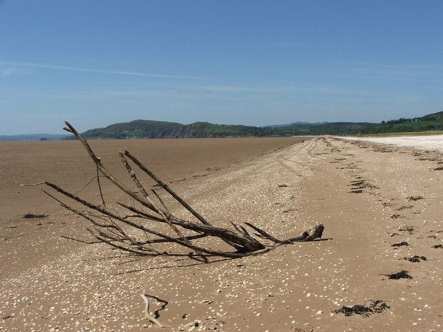
This short loop is frequently used by locals and has featured in the Tour of Britain as well as in the latest series of the British Road Race Championships. The route follows the Solway Coast, passing through the picturesque village of New Abbey and underneath Criffel before traversing above Mersehead Sands in the Solway Estuary. The route then hits the undulating coast line, passing through Sandy Hills Bay and round to Dalbeattie Forest. You will pass through ‘the granite town’ of Dalbeattie, heading inland to pick up the old military road linking Dumfries to Castle Douglas. The rolling Dumfriesshire farmland that surrounds you as you head back towards the town makes for a pleasant end to this short but tough loop.
Start point: Dumfries railway station
Grid reference: NX 97580 76490
Postcode: DG1 1NF
Total distance: 68.5km
Total elevation: 670m
Max elevation: 160m
To see a rough map of this route, click here.
For the full guide to these routes and to read about all the other amazing road bike routes Clive Forth recommends, you can purchase his book The Great British Road Rides Guide from Amazon for £16.99 with free delivery.


